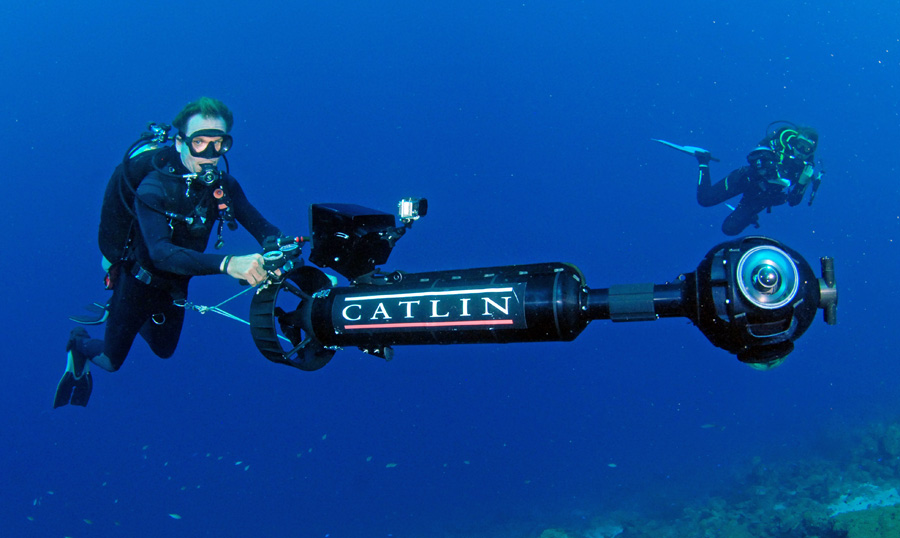
Christophe Bailhache driving the SVII Camera in Curacao
This week in the Florida Keys, six NOAA scientists are creating a unique view of the underwater world using the same technology Google uses to capture images for their “Street View” images. Instead of being mounted on top of a car and driven around, however, these cameras area tethered to scuba divers and powered through the water using small motors to capture beautiful panoramic images, which will be available online as early as this week – including a selection on Google Maps – for anyone with online access to view for free.
The NOAA officials taking part are being paid for as part of a partnership with the Catlin Seaview Survey, funded by the global insurance company Catlin. Google also is a sponsor. According to Catilin, there has been a loss of 40% of corals around the globe in the last 30 years alone, and this technology will be used to monitor the reefs and help in their preservation.
During each dive, the cameras can capture images of an area up to 20 times larger than what is available with regular underwater camera equipment. Along with capturing the individual photos, the technology also captures GPS data, and on-board software stitches the series of images together into either panoramic or 360-degree views. Because of the way lenses function underwater, an entirely new camera rig was created for taking the photos. By using three very-wide-angle-equipped cameras, the current Seaview cameras (SVII) capture left and right images that are merged into a 360-degree panorama, as well as a downward-looking image.
So far, about 400,000 images have been created on reefs off Australia and in the Caribbean. This is the first time the technology has been used in US waters.
The images that have been produced so far from other Catlin surveys are being uploaded online to the Catlin Global Reef Record.
While the main survey continues worldwide, the smaller cameras will be available for targeted projects within NOAA sanctuaries, such as gauging the effectiveness of preservation zones in California’s Monterey Bay sanctuary, or they could help measure the impacts of landslides that fall into the water.
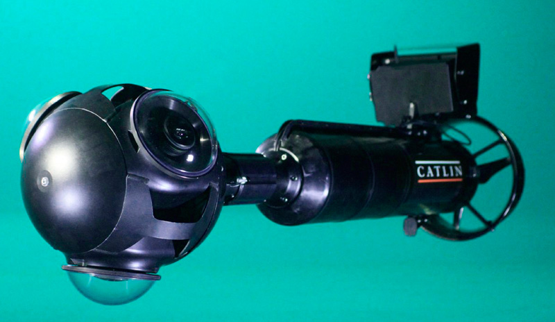
The Seaview SVII Camera System
Looking for a camera a bit smaller than this one? Click here to visit our friends at Blue Water Photo Store!